With a coronavirus induced lockdown in Victoria, Australia, which is where I usually ride my Kickbike on Sundays, I decided to try a new rail trail that had only been complete in 2020 – the Tumburumba to Rosewood rail trail in the Snowy Mountains region of New South Wales, Australia.
The rail trail follows the formation of a long disused government operated railway branch line between Wagga Wagga and Tumburumba. Apart from Wagga Wagga, where the railway branched of the main Sydney – Albury mainline, there are no large towns that would have been served by the railway which meant that the railway line itself would have rarely if ever run at a profit.

Tumburumba is nestled in the foothills of the Snowy mountains, and is where I started my Kickbike ride. From there I rode to Rosewood and back to Tumburumba. The gradient chart for the rail trail shows that the highest point of the trail is Tumburumba. If I had thought about it for a bit I would have realised that if I started in Rosewood and went to Tumburumba and back then the majority of the climbing would be completed before I reached Tumburumba, and I could have enjoyed a more leisurely ride back to Rosewood. But, alas, logic did not prevail on the day! So I had a fairly hard mostly uphill 8km slog to finish the ride after I was already starting to feel fatigued. I’m guessing that last 8km into Tumburumba is why ebikes are so popular on the trail.
Railway History
On 9th March 1921 the railway to Tumburumba was officially opened, with an over-crowded train from Wagga Wagga. I three color ribbon was cut by a Mr J. Bartholomew who was the oldest resident of Tumburumba at the time, aged 92 years.
The Tumburumba railway had the following milestones in it’s history:
- 1884 – Advocacy for the railway began, with possible options being considered.
- Nov 1911 – Parliament approved the railway.
- Apr 1912 – Ceremonial turning of the first sod.
- Jul 1915 – The line reached Humula, and work started on the Humula – Tumburumba section.
- Aug 1917 – Work suspended due to lack of funds.
- Feb 1919 – Work resumed, post war employment.
- Mar 1912 – First train and official opening.
- May 1921 – Regular services began.
- June 1927 – Daily rail motor service began.
- Sept 1974 – Use of line ceased.
Features of the line (as they are today)
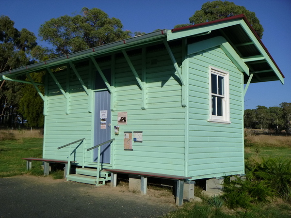
Like some other long branch lines, the Tumburumba line had a staff barracks for train crews to stay at overnight. originally it was near the station. As part of the construction the barracks was moved to the start of the rail trail at Tumburumba, and refurbished. Today it sits as a kind of sentinel over the those commencing their rides from Tumburumba and to mark the highest point on the trail.
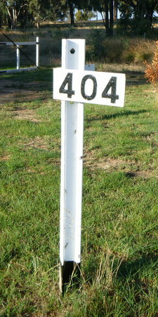
Nearby is the 404 mile post, signifying that the railway terminus at Tumburumba was 404 miles (650km) from Sydney.
From the start of the trail, there is an almost immediate, and steep (for a railway) down grade for about 8km. Not long after crossing Jingellic Road and the Hyne Timber Mill, the trail crosses the Sawpit Creek on a bridge. The bridge was made to look like a railway trestle bridge similar to what would have been used to carry the railway but not as heavy duty.
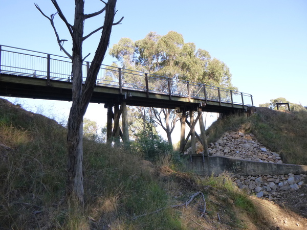
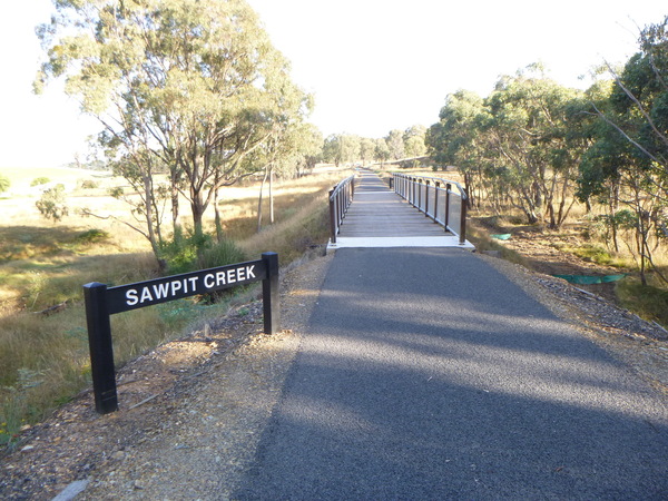
Not long after this bridge the railway line crossed what is now called Wagga Road and continued on it’s descent towards Glenroy station. Glenroy station, at milepost 399, appears to be not connected with any township and is surrounded by open farmland and rolling hills today. The view from the station towards Rosewood is very picturesque.
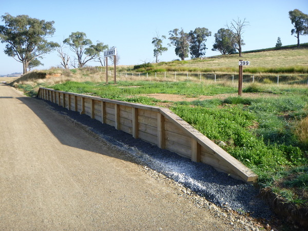
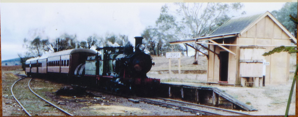
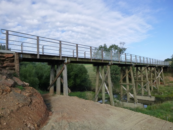
Not long after the Glenroy station, there is a bridge crossing Mannus Creek. This bridge, like others on the trail, is made to look like a railway trestle bridge but not as heavy duty being designed for the weight of bicycles rather than trains.
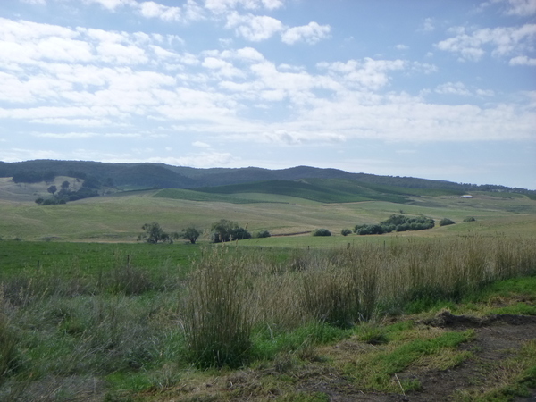
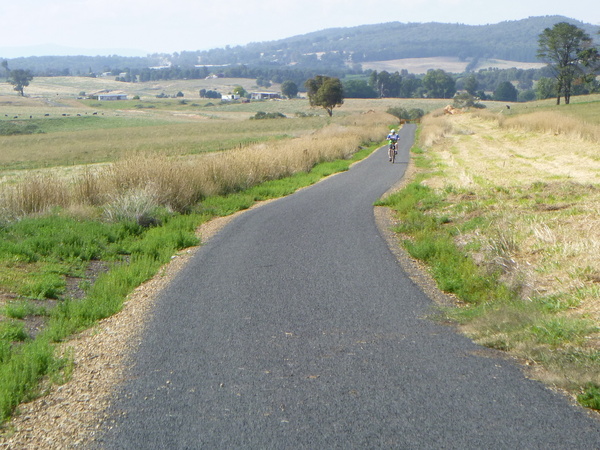
From about this point in the rail trail, the relatively easy climb to Rosewood starts. I say ‘relatively’, because compared with the first 8km approaching Tumburumba it is quite easy. This part of the trail traverses more open farming country and in some sections follows closely to the Wagga Road. Looking towards Tumburumba on the section between Glenroy and Rosewood provides some views across the region to the higher mountains in the distance.

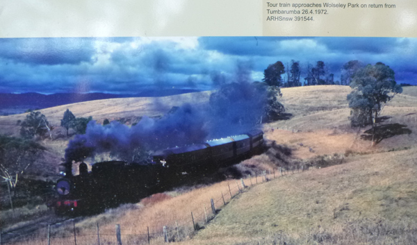
Not many kms from Glenroy station is Wolseley Park. This was the location of the Wolseley Park Dairy Company, but the Railway management wasn’t able to be persuaded of the need for a railway station and stock yards there despite efforts by A.J. Rial to convince them. So he set about making one himself. he leased the railway land for 10/- per month and built a shop and post office at the platform. Apparently all were well patronised, and in October 1927 the Wolseley Park stopping place was officially recognised.
A few more kms further and Rosewood is reached. For me this meant the half-way point in the ride. In railway days, the journey to Wagga would have continued for some time. Rosewood sits on an exposed location on the western edge of the South West Slopes and in the 2016 census had a population of just 214. Rosewood has a number of heritage listed sites.
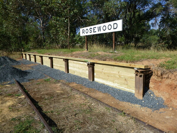
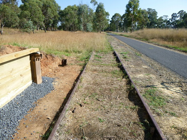
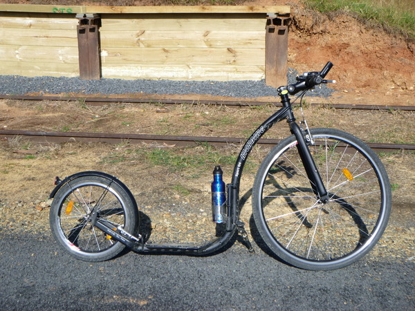
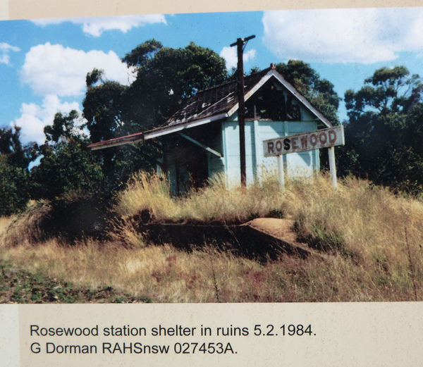
And Rosewood, like many small villages, has a quirky side.

From Rosewood, it was back the way I had come to Tumburumba where the car sat awaiting my return.
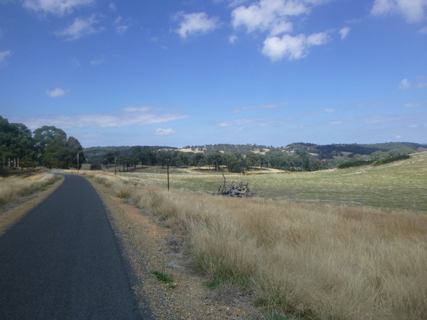
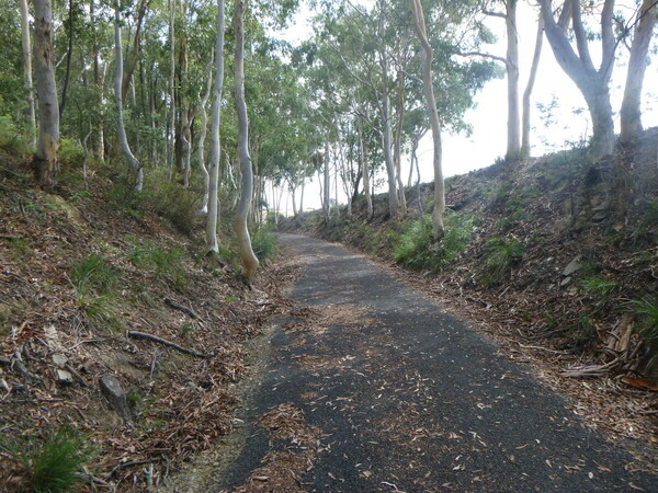
The total length of the Kickbike ride was 41.6km, a personal Kickbike single ride distance record for me at the time of this post. The GPS data of the ride ride itself, including gradients, can be found on Strava .
1 Comment
More Lands End to John O’Groats Challenge Postcards and Run Down Under progress – Jim's Life Log · March 1, 2021 at 4:37 am
[…] On this date, I rode the Tumburumba to Rosewood Rail Trail as part of this challenge. The Tumburumba to Rosewood Rail Trail is one of the newest rail trails in Australia, only completed in 2020. And the Kickbike ride on that day was my longest Kickbike ride so far. For information on that ride, go to my Jim’s Model Trains blog. […]